
May 2026 – Wyoming
A few weeks back I was at a trailhead somewhere in Wyoming with a map in one hand and a chainsaw in the other. That’s how scouting tends to go. You can stare at a route on a screen for hours and still not understand it until you’re standing in it. The elevation profile won’t tell you how the light hits a canyon at 4pm. The satellite shot can’t capture what the pines smell like after rain, or whether a place is going to feel like something or just look like it. So we go. Before every trip.
The Route
3,400 miles, 11 days, 4 states.
Colorado to Utah, north through Idaho into Montana, then east into Wyoming. There wasn’t much glamour to any of it. Just miles, decisions, and a fair amount of backtracking when the route didn’t do what the map said it would.
We had the chainsaw out a few times clearing fallen limbs off the trail. We ran some steep climbs and went down the other side on faith. We drove through small towns that don’t show up on most people’s radar, and we found a couple of fishing rivers in Montana that might just turn into landmarks on future expeditions.
The plan’s a starting point. You don’t really know what the trip is until you’re out there running it. Some of these places I’d been before and some I was seeing for the first time, but you can’t pre-run a route by reading about it. You have to go.
The Campsite
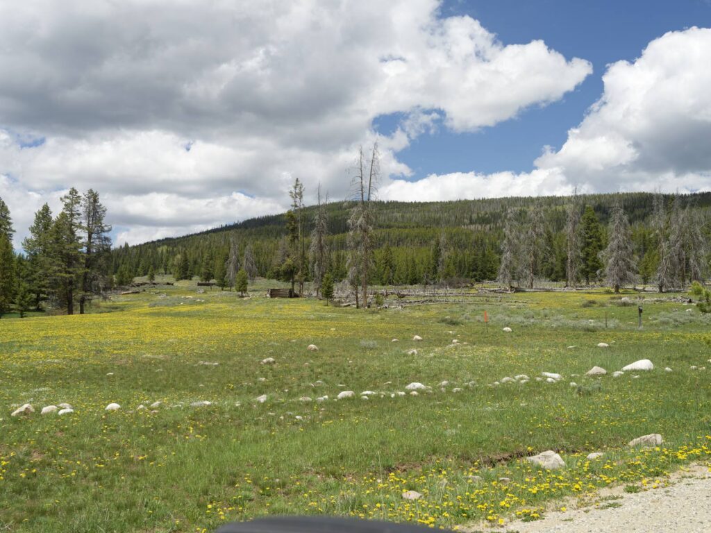
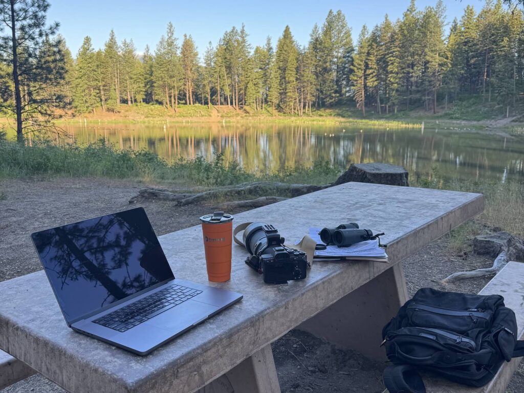
There’s really two maps we build on every scouting trip. The first is the route: miles, terrain, access, permits, the logical plannable stuff. The second one is harder, and it’s the campsite map. That one you can’t put together from a screen.
When I’m looking at a campsite I’m thinking about where the sun sets, which direction the wind comes from at night, whether there’s a trail close enough to stretch your legs without breaking the rhythm of the evening, what you hear when the rigs go quiet, what the air smells like at first light. Sometimes a campsite looks perfect on paper and you stand in it and know right away it’s wrong, so you keep going.
Day 8 – Montana
It was getting near dinner and I was tired. I sat down in my chair, finished my meal, and Finn (chocolate lab, ball in his mouth, the usual) settled in beside me. Then I looked up and there was a moose walking alongside the campsite, unhurried, like he had somewhere to be and we were just part of the landscape he was passing through.
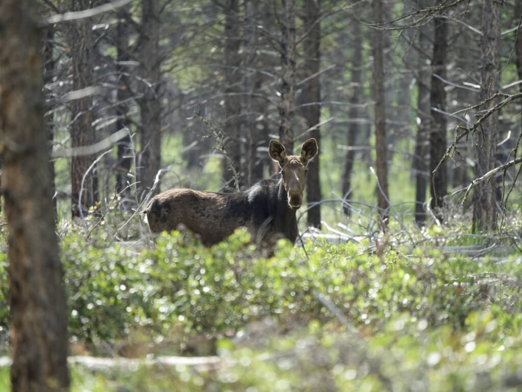
After watching him go by, I knew we’d found the campsite. We stayed there. The next morning at daybreak I stepped outside and there was a deer on the ridge above camp, calm, still, and patient, looking down at us.
That’s really what the campsite map is about. It’s not coordinates or square footage for a dozen rigs. It’s whether a place feels like somewhere people want to be. We’re not finding a parking lot for rigs. We’re finding somewhere people are going to remember.
Guests don’t usually know any of this part. They show up and wake up to the right light, find the trail without looking for it, and the campfire feels earned.
No map or description could capture the feel of these places. You have to go.
What’s Coming Up
The scouting is done. Here’s what’s coming this summer:
June 11–14: San Rafael Swell, Utah, 200-mile route (sold out)
July 9–12: Big Rig Basecamp at The Big Thing, Montana
July 12–16: Ranch to Range Northbound Expedition, Montana
Aug 24–26: Medicine Bow National Forest, Wyoming
Every one of these trips has been pre-run, walked through, felt out, argued about, and revised.
See you on the trail,
Joel Hempel

